Vol. 1 No. 1 (2024): Carinthia II - Part 3 | Carinthia Nature Tech
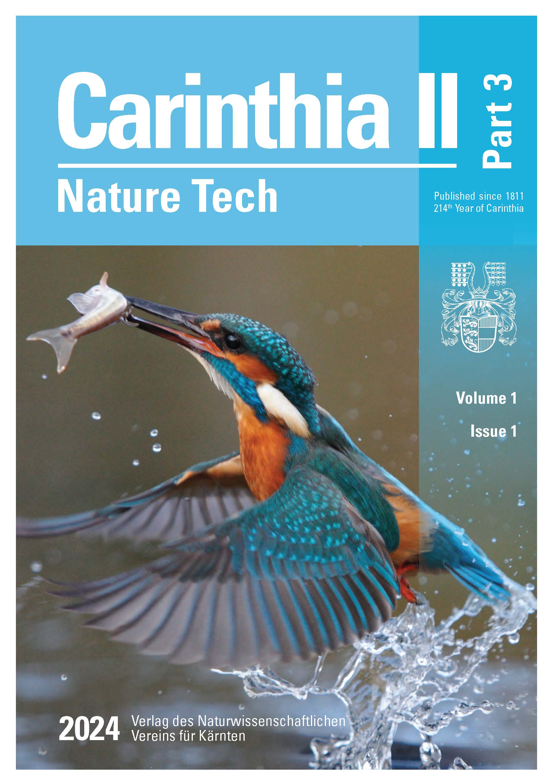
Peer‑reviewed articles introduce two Full Articles on technology‑driven biodiversity assessment—a Google Earth Engine–based habitat classification (“Google4Habitat”) and an automated, non‑invasive waterfowl detection framework using high‑resolution UAS imagery and machine learning—alongside a Short Article presenting the IPAM Toolbox 2.0 for conservation area planning and management. Short Notes showcase quick‑to‑apply field implementations: building a “digital forest twin” with action cameras, modernizing rock ptarmigan monitoring with acoustic sensors, and improving the accuracy of automatic visitor counting for cyclists in protected areas. Three Book Reviews round out the issue with critical updates to Carinthia’s Red Lists (flora and fauna) and a review of an IUCN WCPA framework for designing biodiversity monitoring programs, offering regional context and practical guidance for monitoring design.
Full Articles
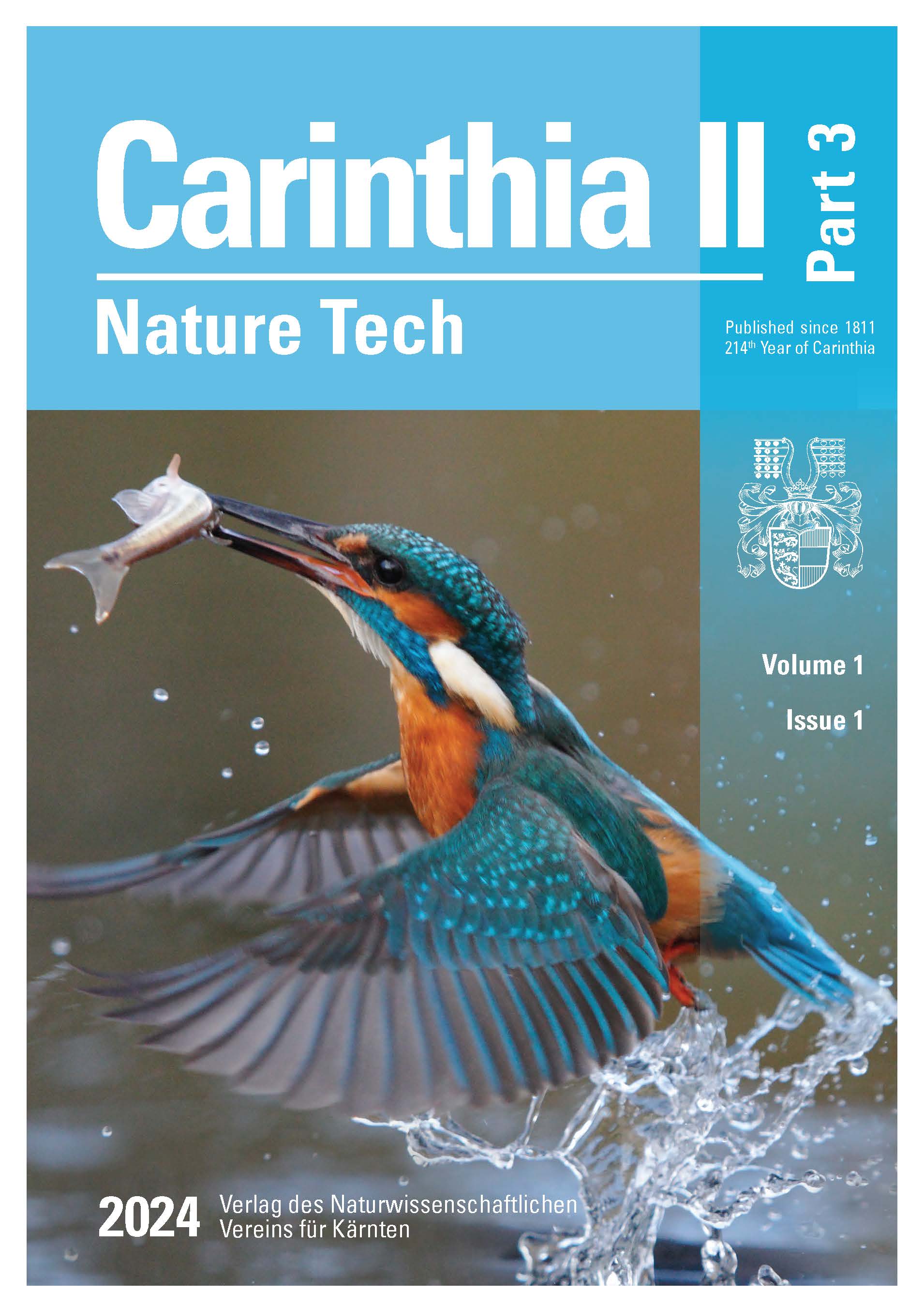
Google4Habitat - a novel method for remote sensing-based habitat classification using Google Earth Engine
Global and accelerating loss of biodiversity requires stronger management and protection of ecological resources. In Europe, various habitat types frequently need to be monitored within the framework of the Natura 2000 program. To achieve this, a robust monitoring tool, generating precise habitat maps, is crucial. Because of the specific conditions in mountainous areas, such as steep slopes and hard-to-reach areas that impede large-scale field surveys, remote sensing approaches are increasingly used to generate reliable maps. The novel classification method Google4Habitat, developed in this study, combines globally available satellite data (Sentinel/Landsat) with a series of site characteristics and upstream expert rules. Within Google Earth Engine, habitats are classified via spatial and temporal analysis based on spectral profiles and combined with factors such as elevation, vegetation height, surface roughness (based on LiDAR (light detection and ranging) data), geology, and indices for vegetation greenness (NDVI, normalized difference vegetation index), snow cover (NDSI, normalized difference snow index), and water (NDWI, normalized difference water index) in a supervised classification approach. The following questions were addressed: 1) Do the results meet the stringent habitat classification guidelines of the Red List and the requirements of Natura 2000? 2) What impact do the different qualities of input data have on the accuracy of the results? 3) Is this method suitable for capturing long-term changes in habitat distribution? We tested our model in Seebachtal, an alpine region that includes all habitat types from the montane to the nival zone and is one of the most untouched valleys in the Hohe Tauern National Park. The results are promising both in terms of habitat classification and delineation, largely meeting with the Natura 2000 guidelines. Due to their lower spatial resolution, Landsat data cannot fully detect small-area habitat types such as fens and still water. However, a comparison with the higher-resolution Sentinel-2 data shows that, in consideration of the entire study area, the classification accuracy using Sentinel-2 data did not significantly improve. Changes in habitat distribution over a 30-year-period were captured reliably. Overall, our model allows the rapid classification of large areas with high accuracy, opening new avenues for practical environmental management.
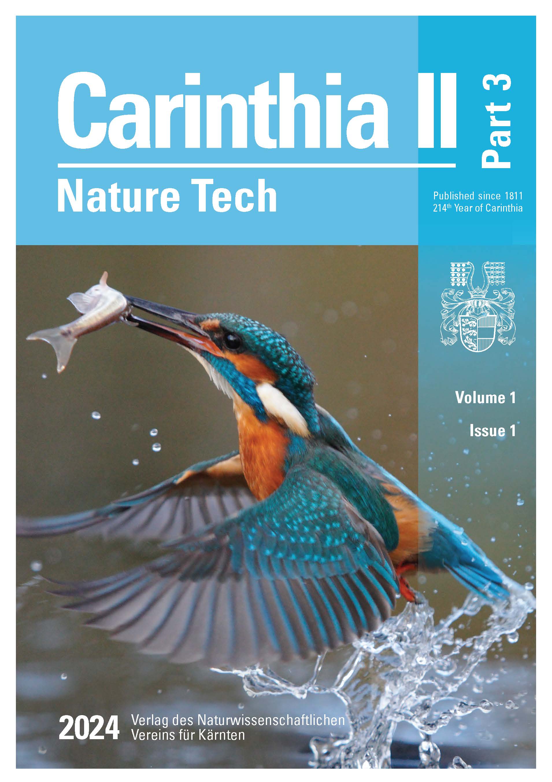
A digital framework for automated non-invasive waterfowl detection in Carinthia based on high resolution UAS imagery and machine learning
Automated waterfowl detection from uncrewed aerial system (UAS; “drones”) imagery has become an important task for various environmental applications such as wildlife monitoring, nature conservation, and habitat mapping. This paper presents a digital framework for automated waterfowl detection using high-resolution UAS imagery and artificial intelligence/machine learning (ML). Several UAS missions in Brenndorf, Carinthia, Austria, were conducted simultaneously with a traditional ground-based waterfowl field survey by an experienced expert. Several data pre-processing steps were applied to optimize digital image data pipelines for the generation of high-quality ML training data. The You Only Look Once (YOLO) open-source computer vision and ML object detection model was used to detect waterfowl in the UAS imagery. A transfer learning approach from a large waterfowl study at the University of New Mexico in collaboration with the U.S. Fish and Wildlife Service was used to further improve the model’s performance. Validation results showed promising performance with 80% and 83% classification accuracy on the waterfowl classes ‘duck’ and ‘swan’, respectively. Finally, a spatial projection model and a visualization approach for the ML-based detection and classification results on a map were implemented. The proposed digital framework for automated waterfowl detection provides promising results for standardization and a new paradigm for waterfowl counting to support and extend traditional wildlife monitoring.
Short Articles
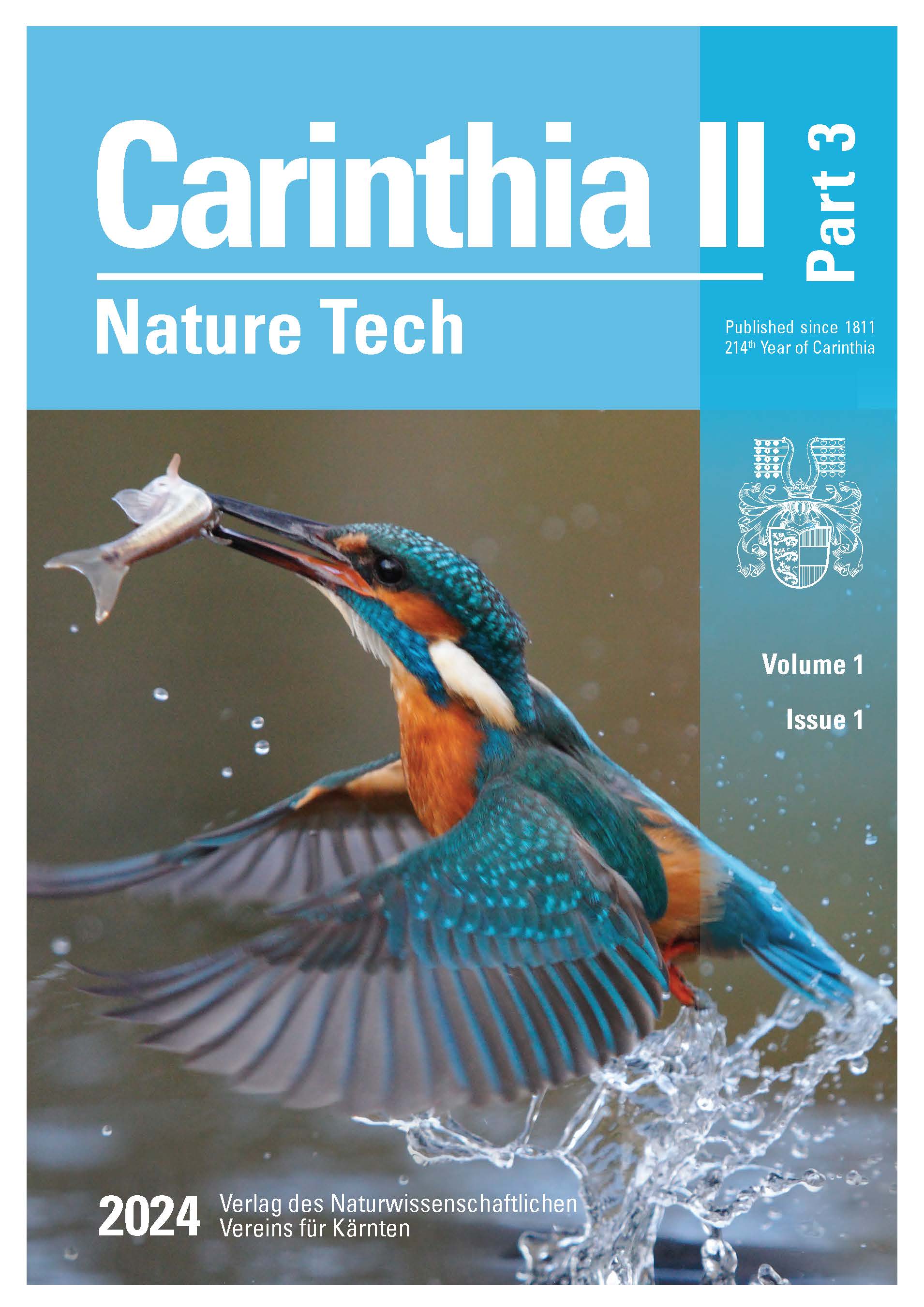
Advancing technologies: IPAM Toolbox 2.0 for planning and management of Conservation Areas (MCA)
The paper introduces an online tool for integrated management of conservation areas (CAs). The IPAM Toolbox 2.0 is an interactive web application that enables self-assessment of the planning or management status of a CA.
The toolbox is built upon the framework of the lifecycle of CAs. Accordingly, the lifecycle can be represented in four phases, I Planning and designating a site, II Managing a site for the long term, III Repeal and termination, and IV Management beyond boundaries. The phases can be divided into 29 Fields of Activity (FoAs). This structure is supported by literature and empirical evidence.
Currently, the toolbox is available at the technology readiness level of a demonstrator (TRL 7). It is used for research and educational purposes. In a further step, it will be made available to planners, managers, consultants, and decision-makers in CAs worldwide.
Short Notes
GoPro forest: creating a digital forest twin
Terrestrial Structure from Motion photogrammetry images were used to create a digital 3D twin of several forest areas. The aim was to evaluate whether this method can calculate the existing biomass and stored carbon. Instead of an expensive laser scanning device, a GoPro camera was used. The project served to learn how to use the camera and software for digital data acquisition in forests. Using GoPro images, 3D twins were created and the forest stand was compared with conventional methods. An average value per square meter was calculated in four test areas and scaled up to one hectare. The results of the digital point clouds with Agisoft Metashape and ReCap Pro were compared with conventional images. Agisoft Metashape achieved an agreement of 82.5% and ReCap Pro 87.5%.
Page 4 | doi: https://doi.org/10.71911/
Blending tradition with innovation: how acoustic sensors are revolutionizing rock ptarmigan monitoring
As part of the annual survey of the presence of the alpine ptarmigan in the Granatspitz group in the Hohe Tauern National Park, Carinthia University of Applied Sciences supported the data collection for the first time using acoustic sensors in the spring of 2023. To obtain an initial comparison with the classic point-counting method, acoustic loggers were placed at previously established permanent survey points. Furthermore, the devices were installed at the boundaries of the reference area and beyond to determine how extensively the area is used by rock ptarmigan. The results demonstrated that, despite challenging weather conditions, the required data could be successfully collected using the two tested sensor types.
Improvement of accuracy of different automatic visitor counting devices to monitor cyclists in conservation areas
Conservation area managers face increasing challenges in balancing nature-based tourism with environmental protection, as visitor activities diversify and tourism grows in recreational and protected areas. To address this, effective visitor monitoring is crucial for identifying spatial and temporal hotspots of use and potential conflicts that could threaten conservation goals. In this context, a field test on a mountain bike trail near Villach compared the functionality of two automatic visitor counting technologies: an infrared counter and a magnetometer. A wildlife camera recorded videos of passing mountain bikers, serving as the “ground-truth” for the experiment. The infrared counter, detecting infrared wavelengths emitted by people or animals, and the magnetometer, sensing metal parts of bicycles, were evaluated for accuracy. Over 28 days, the wildlife camera recorded 4,004 cyclists. The magnetometer undercounted by 9.6%, while the infrared counter undercounted by 32.8%, with increasing inaccuracy on busy days. A linear regression model provided correction factors, with the magnetometer showing higher prediction accuracy. The study suggests that the magnetometer is more reliable for counting cyclists, but both technologies suffer accuracy issues with higher visitor traffic. Wildlife cameras, while useful, require careful data management and privacy considerations. Future tests could focus on differentiating between hikers and cyclists using these technologies on shared trails.